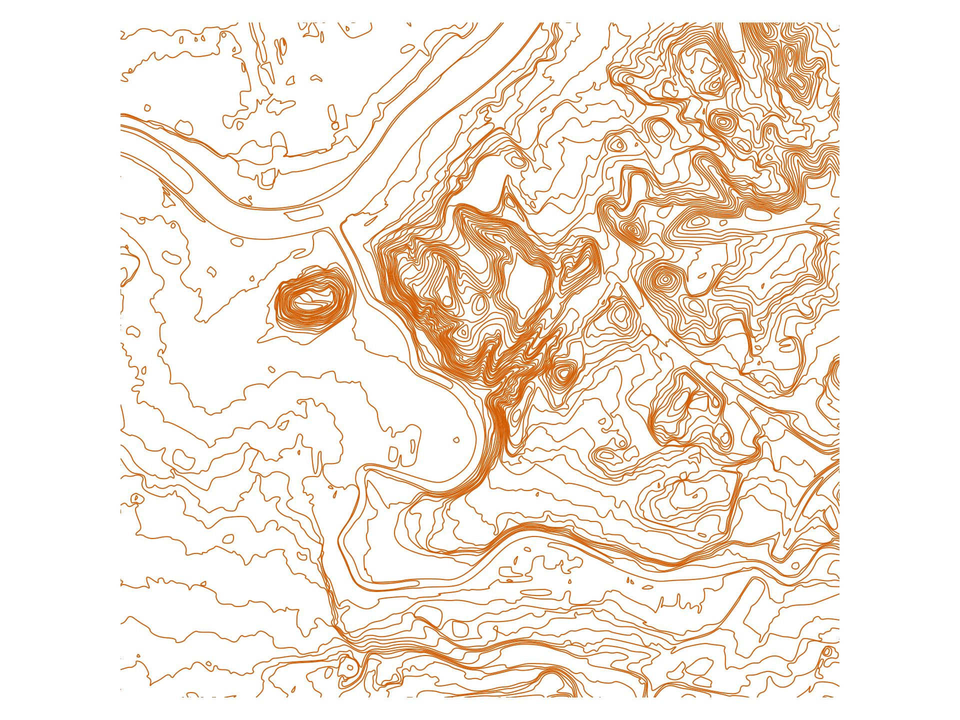
Countour line generator from LIDAR data
Usage:
- Download contour lines in format
6062999.75,584000.75,88.07: coordinate pair and height (in meters) toDTM_XX_YY_N.zipfiles. - Adjust
BOUNDSin the Makefile. - Run
make -j$(nproc) smooth_<X>.gpkg. This will output a geo-package with contour lines everyXmeters. X can be fractional (e.g.smooth_2.5.gpkg). - Optional: you may generate a raster image with
layer2img.py.
Dependencies:
- postgis
- gdal-bin
- unzip
TODO:
- Replace
managedbstack with postgis-over-docker. This will lead to a less fragile postgis setup. - Accept
BOUNDSin a way that does not require to change the Makefile.
Example
License
Code in this directory is public domain.
