Countour line generator from LIDAR data
This accepts two kinds of contour data:
2009 variant: x, y, z, separated by one or more spaces:
501991.670 6150000.000 57.689
Non-gridded, therefore significantly slower (gdal_grid must be used before making contours, which is slow).
2017: y, x, z, separated by commas:
6062999.75,584000.75,88.07
This is gridded, so quite fast.
Usage:
- Download contour lines to zip files in this directory.
- Adjust
BOUNDSandVARIANTinconfig.mk. - Run
make -j$(nproc) smooth_<X>.gpkg. This will output a geo-package with contour lines everyXmeters. X can be fractional (e.g.smooth_2.5.gpkg). - Optional: you may generate a raster image with
layer2img.py.
Dependencies for a Linux system:
- docker
- psql (client only)
- gdal-bin
- unzip
- awk
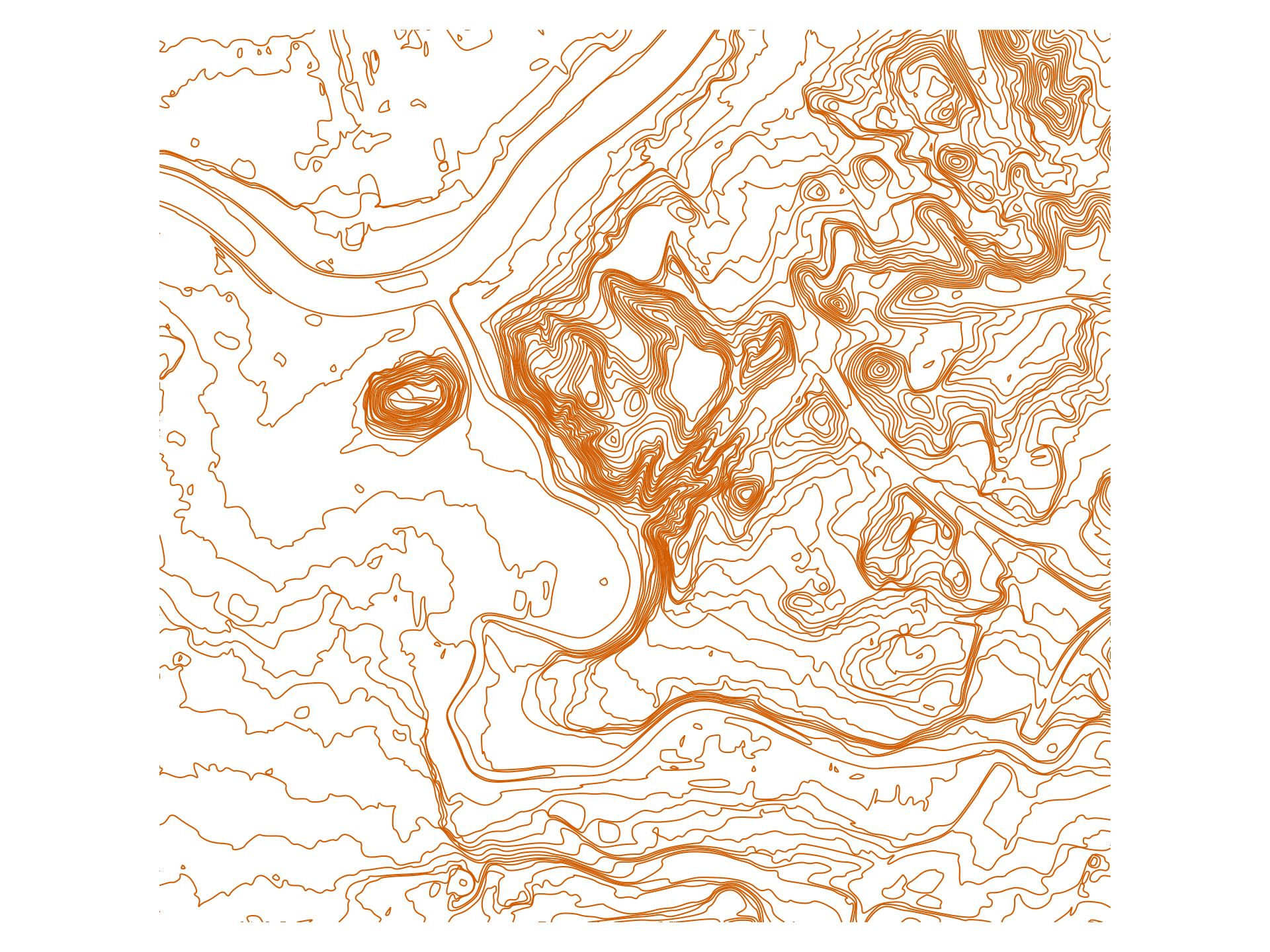
Example
License
Code in this directory is public domain.