96 lines
2.9 KiB
Markdown
96 lines
2.9 KiB
Markdown
Wang–Müller line generalization algorithm in PostGIS
|
||
----------------------------------------------------
|
||
|
||
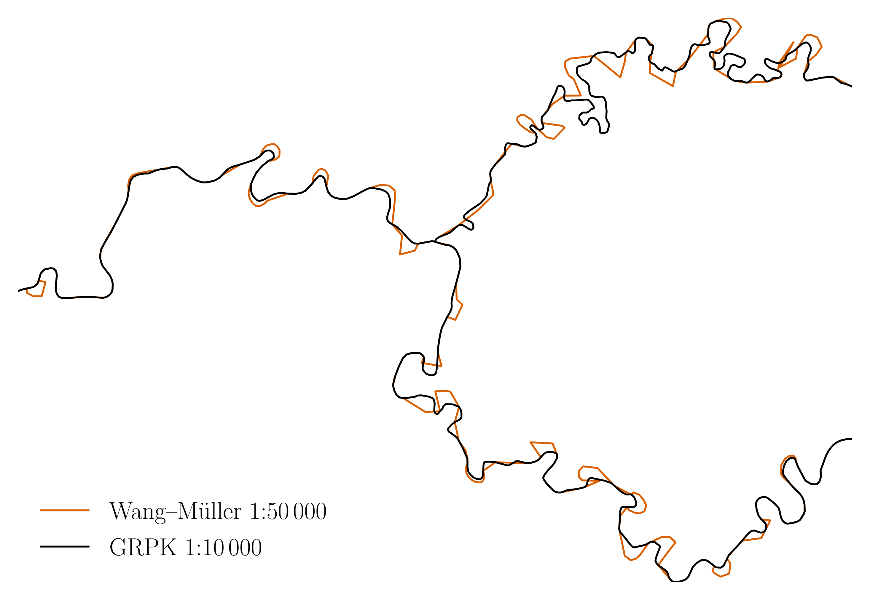
This is Wang–Müller line generalization algorithm implementation in PostGIS.
|
||
Following "Line generalization based on analysis of shape characteristics" by
|
||
the same author, 1998.
|
||
|
||
Status
|
||
------
|
||
|
||
It mostly works. Read `mj-msc-full.pdf` for visual examples and possible
|
||
gotchas.
|
||
|
||

|
||
|
||
Structure
|
||
---------
|
||
|
||
There are be 2 deliverables:
|
||
|
||
- `wm.sql`, the implementation.
|
||
- paper `mj-msc-full.pdf`, a MSc thesis, explaining it.
|
||
|
||
It contains a few supporting files, notably:
|
||
|
||
- `tests.sql` synthetic unit tests.
|
||
- `test-rivers.sql` tests with real rivers.
|
||
- `Makefile` glues everything together.
|
||
- `layer2img.py` converts a PostGIS layer to an embeddable image.
|
||
- `aggregate-rivers.sql` combines multiple river objects (linestrings or
|
||
multilinestrings) to a single one.
|
||
- `init.sql` initializes PostGIS database for running the tests.
|
||
- `rivers-*.sql` are national dataset snapshots of rivers (`Makefile`
|
||
contains code to update them).
|
||
- ... and a few more files necessary to build the paper.
|
||
|
||
Running
|
||
-------
|
||
|
||
`make help` lists the select commands for humans. As of writing:
|
||
|
||
```
|
||
# make help
|
||
mj-msc-full.pdf Thesis for publishing
|
||
test Unit tests (fast)
|
||
test-rivers Rivers tests (slow)
|
||
refresh-rivers Refresh river data from national datasets
|
||
clean Clean the current working directory
|
||
clean-tables Remove tables created during unit or rivers tests
|
||
help Print this help message
|
||
```
|
||
|
||
To execute the algorithm, run:
|
||
|
||
- `make test` for tests with synthetic data.
|
||
- `make test-rivers` for tests with real rivers. You may adjust the rivers and
|
||
data source (e.g. use a different country instead of Lithuania) by changing
|
||
the `Makefile` and the test files. Left as an exercise for the reader.
|
||
|
||
N.B. the `make test-rivers` fails (see `test-rivers.sql`), because with higher
|
||
`dhalfcircle` values, the unionized river (`salvis`) is going on top of itself,
|
||
making the resulting geometry invalid.
|
||
|
||
Building the paper (pdf)
|
||
------------------------
|
||
|
||
```
|
||
# make -j$(nproc) mj-msc-full.pdf
|
||
```
|
||
|
||
`mj-msc.tex` results in `mj-msc-full.pdf`, which will be at some point
|
||
published to this repo. It needs quite a few dependencies, including a
|
||
functioning Docker environment, postgresql client, geopandas, pygments,
|
||
osm2pgsql, poppler, and a "quite extensive" LaTeX installation. Tested on
|
||
Debian 11.
|
||
|
||
`in-container` script may be helpful if the above sounds like too much.
|
||
|
||
Contributing
|
||
------------
|
||
|
||
This repository will soon be frozen and does not accept contributions. Please
|
||
fork it. If fork has improved the algorithm substantially, feel free to ping
|
||
me, I will link to it in this README.
|
||
|
||
Credit
|
||
------
|
||
|
||
[Nacionalinė Žemės Tarnyba](http://nzt.lt/) for the river data sets.
|
||
|
||
|
||
License
|
||
-------
|
||
|
||
GPLv2 or later.
|